Holiday location
Farm Holidays in Mühlwald
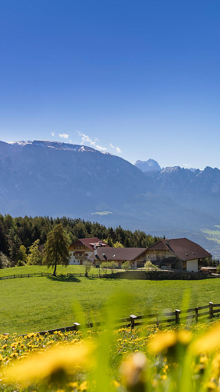
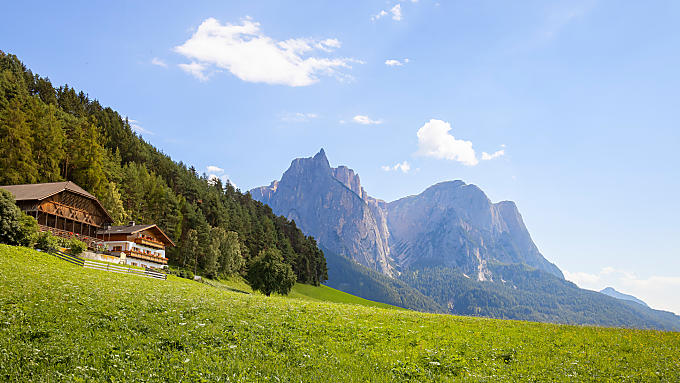
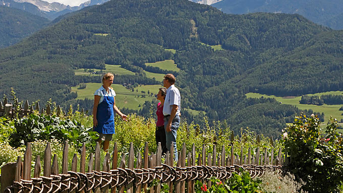
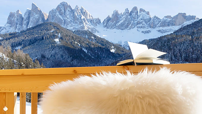
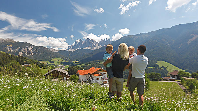
A Farm Holiday in Mühlwald provides guests with relaxation as well as an active holiday far away from noise amidst the imposing Zillertal Alps.
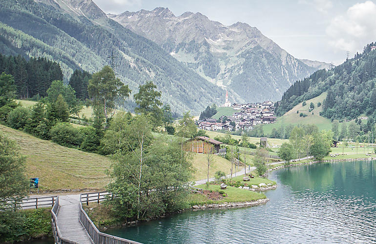
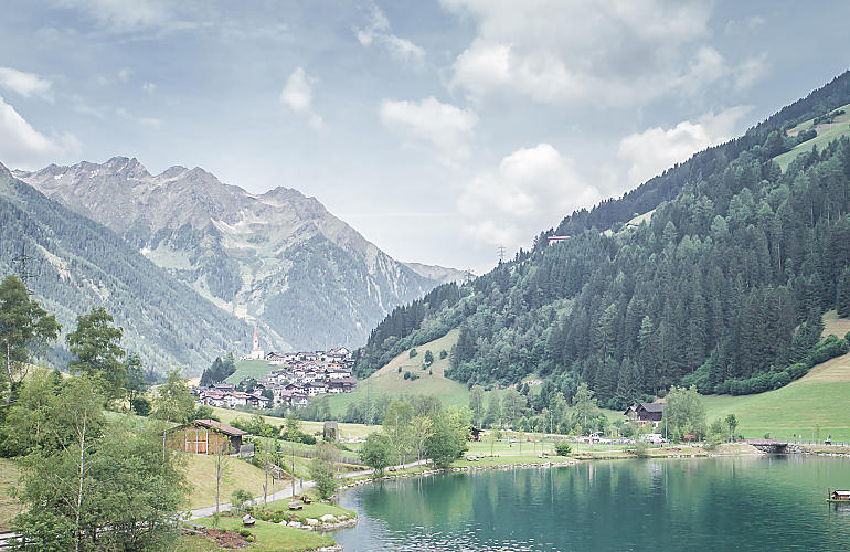
Mühlwalder Tal valley turns off from Tauferer Ahrntal valley at Mühlen in Taufers. At the start is the scattered settlement of Außermühlwald, while somewhere around the mddle of the valley is the main village of Mühlwald. The last village at the upper end of the valley towards the main ridge of the Zillertal Alps is Lappach.
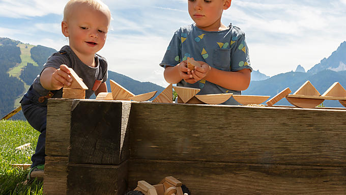
The 80 peaks of the Tauferer Ahrntal valley, measuring over 3,000 metres in altitude, are always in sight from the small municipality of Mühlwald, too. Yet it's not just expert mountaineers who will find themselves in their element. Families with children can have a Farm Holiday in Mühlwald involving lots of variety. The municipality is perfect as a base for a ski holiday on Speikboden slopes, too.
Mills and nuns
The name Mühlwald first came up in records around 1160 in a deed of donation to Sonnenburg abbey in St. Lorenzen. The name should be taken literally: 'Mühlen', or 'mills', in a wooded area ('Wald'). Mills, waterfalls and sawworks dominate the landscape. You can explore the valley on a number of themed walks to the motto of 'the power of water' from a holiday flat or room in Mühlwald. It has emerged from old documents that Mühlwalder Tal valley used to be impassable and was only settled thanks to Sonnenburg Abbey. For centuries, the Benedictine abbey of Sonnenburg possessed manorial rights in Mühlwald. Mühlwald and Lappach were independent parishes for a long time. It was not until under the fascist regime that the three villages were put together into one municipality. After the end of the Second World War, this arrangement stayed in place and the first mayor presided over both villages.
To Wiezgruber Alm pastures
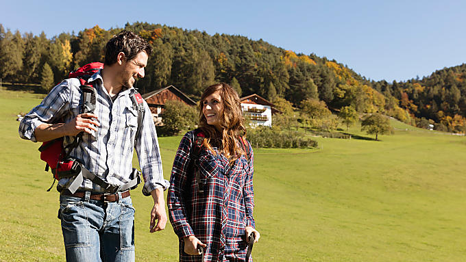
The 'Mühlwalder Almenweg' path is a real classic hike on the Speikboden massif. The high altitude path with fantastic all-round views leads, by means of marked paths and narrow uphill routes, to lots of green pastures and to Weizgruber Alm pasture in around four hours. You could start a slightly longer walk to Weizgruber Alm from the lower terminal of the cable car of the ski and hiking area of Speikboden. The first section does not have to be done on foot: a cable car or chair lift carries passengers up the mountain to 2,400 metres above sea level. Then there are marked paths going from pasture to pasture. Families and leisurely walkers will find an easy route to Weizgruber Alm from its car park. The wide path becomes a sledge run in winter.
Farm search
Holiday farms in Mühlwald
3 reasons
A holiday in Mühlwald
A gem amongst high mountains
The views are really pictureseque: the pure turquiose blue waters of Neves Stausee reservoir or Lappacher Stausee reservoir, which lies at the upper end of Mühlwalder Tal valley near Lappach, come from the melted glaciers of their three surrounding 3,000-metre-high mountains.
The views are really pictureseque: the pure turquiose blue waters of Neves Stausee reservoir or Lappacher Stausee reservoir, which lies at the upper end of Mühlwalder Tal valley near Lappach, come from the melted glaciers of their three surrounding 3,000-metre-high mountains.
The Hohe Weißzint, the Große Möseler and Turnerkamp mountains in the Zillertaler Alps border on Mühlwalder Tal from the Austrian side. Hiking paths to the pastures and huts start here, as well as challenging high Alpine tours for mountaineers. The lake may be reached by a narrow, steep toll road. Right on the lake there is a large car park. A path leads around the lake and the reservoir wall can be walked on, too. Neves high altitude path starts on the northern bank of the reservoir and leads up steeply through the wood above Neves Alm pasture until Nevesjoch pass, where Chemnitzerhütte refuge, also known as Nevesjochhütte, is situated in the middle of the glacier. The walk then continues to up to Ederauthütte refuge.


