Day trip destination
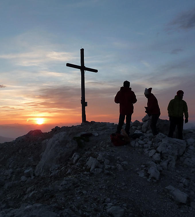
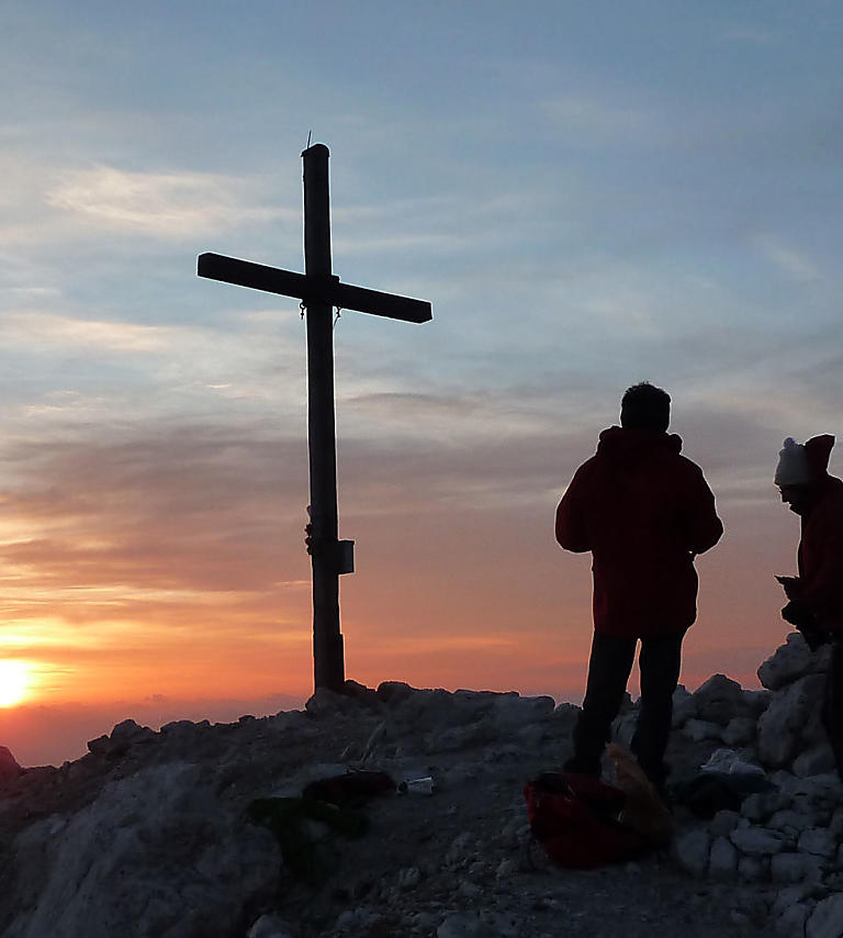
Sunrise on the Peitlerkofel mountain: the burning sky
To experience the sunrise from a mountain peak is a really impressive sight. Especially on the Peitlerkofel, one of the finest mountains for viewing the surrounding area in the Dolomites.
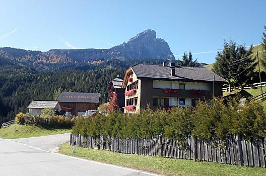
The imposing rock massif of the Peitlerkofel mountain rises up to the sky over the crest of Lusental valley. At 2,875 metres high, it is the highest mountain of the Peitlerkofel mountain group in the middle of Puez-Geisler Nature Park. Keen hikers and nature-lovers should not miss out on an ascent via the southern side of the mountain. A nighttime hike to wonder at the sunrise from the Peitlerkofel is particularly spectacular.
High up and close to the sun
A nighttime hike to watch the sun come up is quite different from going on a hike during the day. There is not a soul to be seen and absolute peace and quiet. When you get to the top, the sky is already starting to turn pink on the horizon. It's not long before it starts to take on a yellowy shimmer and then shines red or orange, until it seems to glow. Then the sun rises into the sky and bathes the countryside in soft light. The sky appears to burn over the Zillertal Alps, the Marmolata range, the Kreuzkofel mountain and the whole of the Dolomites. Yet, a sunrise seen from Peitlerkofel is not just an impressive sight when the weather is good: clouds conjure up ever-changing images and colours in the sky over the Peitlerkofel. When you start to feel the warmth of the sun's first rays at the very latest, the strenuous ascent and early start will be forgotten. You can feel particularly close to the sky here.

A challenging mountain hike
All hikers opting to watch the sun come up from Peitlerkofel mountain should have plenty of stamina and the necessary mountaineering experience. It involves a difference in altitude of 1,050 metres and you should allow around two and a half hours for the ascent.
The path, which is enshrouded in darkness at the start and only lit by headlamps, leads through woodland and across meadows at first. It gets increasingly narrower the closer you come to the rock face. You reach the Peitlerscharte col at 2,357 metres above sea level through a long gorge along a little stream and via a path that gets steeper and steeper as you go. The terrain becomes more Alpine here and the last 100 metres of ascent start on the ridge between the large and small Peitlerkofel along a secured route with new wire cables. You should have a head for heights as well as be surefooted on these exposed stretches and should hook yourself onto the wire with a harness.
Another detour
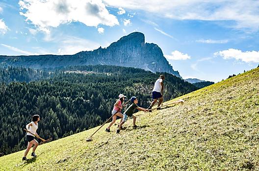
It's hard to say whether the sunrise from Peitlerkofel is more beautiful in summer beneath clear skies or in autumn, when the clouds make the colours even more impressive. You have to get up much earlier in summer to be there on time, but you are rewarded with views of the splendid flowers that cover the famous Peitler meadows every year after the snow melts.
You should allow one and a half hours to get down again, but if you fancy doing another few metres' ascent, then you can take a detour to the Kleine Peitlerkofel mountain. This may be reached in around a quarter of an hour from the ridge and you can see the peak of the Peitlerkofel from there. You can continue your tour after the Peitlerscharte col by taking the left-hand path to do the circular walk around the Peitlerkofel, which ends at Würzjoch, too.
Peitlerkofel
Further information
From Passo delle Erbe, this hike along trail 8a runs though stunning pastures. At the foot of the north face of Sasso Putia, turn right at the fork and take trail no. 4 to the Forcella di Pütia pass. At Forcella di Pütia, turn left onto the marked trail to get to the pass between the main and the secondary peak.
Take Bressanone North - Val Pusteria highway exit, continue via San Lorenzo, into Val Badia to San Martin de Tor, continue via Antermoia to Passo delle Erbe.


