Day trip destination
Hike around the Langkofel: The wow factor
The Langkofel tour in Gröden valley is one of the most beautiful hikes in the South Tyrolean mountains. You will be left astounded in the heart of the Dolomites.
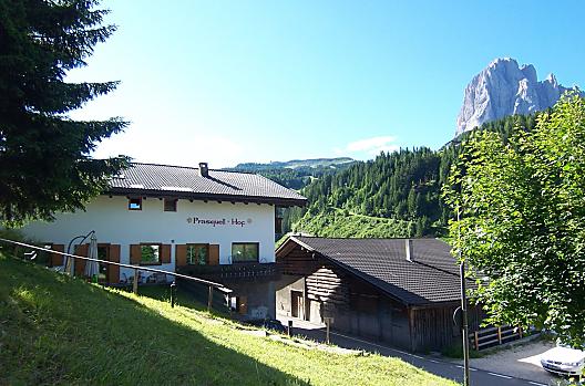
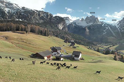
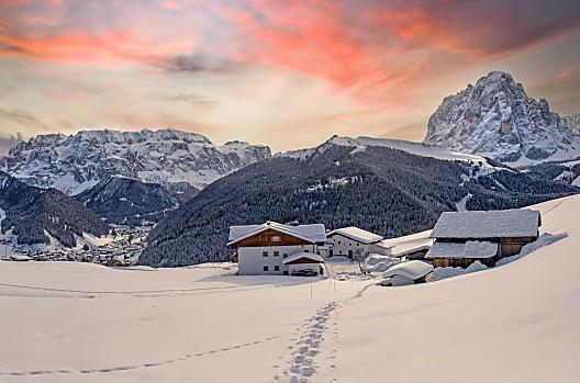
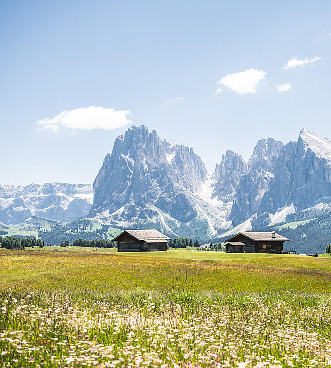
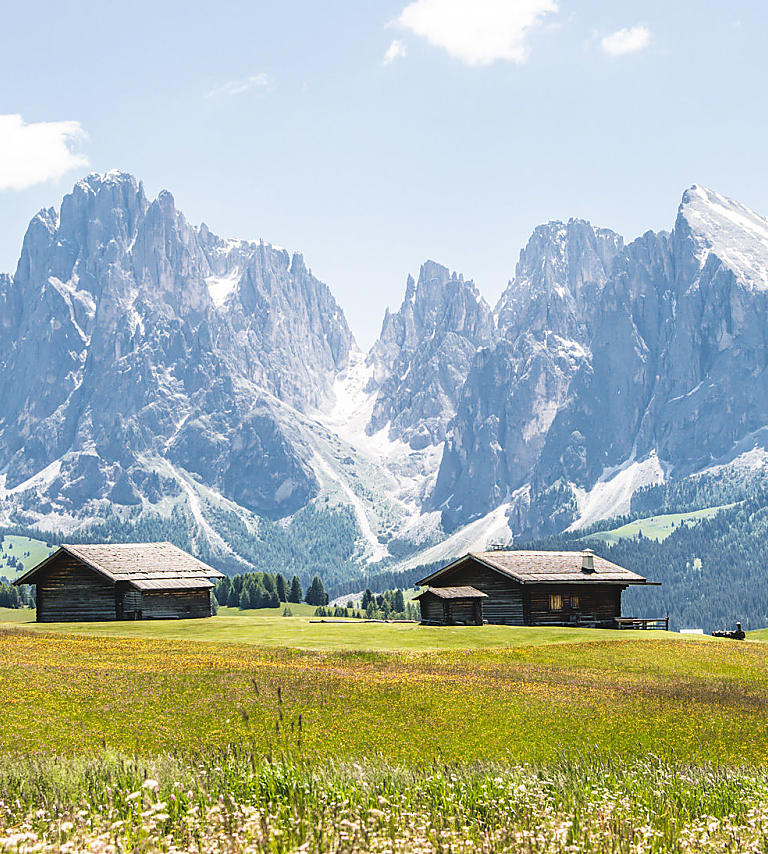
"I have climbed, walked or crawled to the edges of the earth for half a human life (...) Nowhere else have I found such an impressive rocky landscape as the Dolomites."This quote from the well-known South Tyrolean alpinist Reinhold Messner describes vividly the sometimes almost unreal beauty of the Dolomites Mountains, UNESCO World Heritage Site since 2009. In the middle of Gröden valley Dolomites stands the Langkofel, rock-solid and sublime. At 3,181 metres it is the highest peak of the Langkofel group and due to its characteristic shape is the landmark of the entire Gröden valley.
Langkofel, Saslonch and Sassolungo
Depending on which of the three South Tyrolean language groups you belong to, the approximately one-kilometre-wide mountain, which stretches from northwest to southeast, is called different names by its visitors, conquerors and admirers. In Ladin-speaking Gröden with its three villages Wolkenstein, St. Ulrich and St. Christina, it is called "Saslonch", which means something like "long stone" or "long rock". Together with the south-east summit Langkofeleck, it covers about half the area of the entire Langkofel massif. The mountain, which is very popular among climbers, was ascended for the first time by the Austrian alpinist Paul Grohmann. The Dolomites pioneer and co-founder of the Austrian Alpine Association climbed the Langkofel in 1869 along with mountain guide Franz Innerkofler from Sexten and Carinthian mountain guide Peter Salcher. A monument in the municipality of St. Ulrich commemorates the alpinist and the Grohmannspitze in the Langkofel group was named after him in 1875.

A loop around the mountain
A circular hike around the Langkofel and its neighbour, the 2,964-metre-high Plattkofel, also located in the Langkofel group, is a unique experience for experienced hikers of all ages. However, it is important that you are surefooted and in good physical condition. Those who meet these requirements will master the circular hike without difficulty and enjoy it immensely. The starting point for the tour is the Sellajochhaus at 2,180 meters. From there, the Friedrich-August path, named after the last king of the Kingdom of Saxony, leads almost straight on to the Plattkofel hut, which serves food. Where the path meets the Santnerweg, you hike up to the Ciaulongsattel, then on to the Emilio Comici hut, which also serves food, and back to the Sella Pass. A slightly more demanding variant of the circular hike requires taking a gondola lift from the Sella Pass to the Langkofelscharte and the Toni Demetz hut, which lies between the Fünffingerspitze and the Langkofel. Even the short ride in the strange basket lift into the rocky heart of the Langkofel massif gives you wonderful views of the surrounding mountains. The tour now takes about an hour over the quite steep Langkofelkar, consisting of rock and scree, to the Langkofel hut, which is only open in summer, and continues down to where path 526 branches off. Here you take the high mountain trail, which leads you along the bottom of the face of the Langkofel without any incline. The path leads you over the Ciaulongsattel and past the Emilio Comici hut to the so-called “Stone City” and from there back to the Sella Pass. Hikers are rewarded for their exertions with an unrivalled panoramic view of the Sella group, the Seiser Alm and the Marmolada, which is deemed to be the highest mountain in the Dolomites.
Langkofel
Further information
Alternative: Bus or car to the valley station of the Monte Pana lift and ascent with the lift
Start from Monte Pana and take the Mont de Sëura chairlift to reach the Mont de Sëura mountain pasture at the foot of the Sassolungo. Surrounded by steep rocky walls reaching to the sky, the path (n° 526B - 528 - 526) proceeds to Passo Sella; from here, take the traditional gondola lift to Forcella Sassolungo. It is also possible to reach the Sassolungo gap by foot following the path n° 525 (approximately 1 hour). Walk past the Sassolungo Group on a breathtaking, serpentine path (n° 525) between the Sassolungo and the Punta delle Cinque Dita and return via a forest path (n° n. 526 - 526B) to the excursion’s starting point.
You can reach Monte Pana also by private car (chargeable car park) or by foot (approx. 40 min and 200 m of elevation).
Timetables at: www.valgardena.it/bus
At the beginning of the summer season, some sections may still be snow-covered, depending on weather conditions. Please enquire about conditions before setting off on your hike.


