Day trip destination
King Ortler: the highest point in South Tyrol
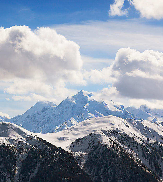
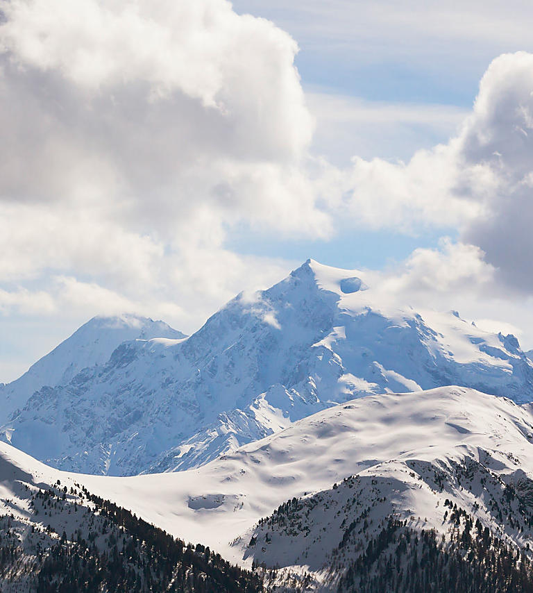
At 3,905 metres, the Ortler mountain is the highest in South Tyrol. It is recommended that only experienced mountaineers attempt to climb this giant of a mountain in Upper Vinschgau.
The Ortler mountain rises up in the west of South Tyrol, in Upper Vinschgau near the border with the province of Sondrio in Lombardy and Switzerland. Reaching nearly 4,000 metres in height, it has been called 'King' since the early 19th century, and rightly so. the Ortler is the highest mountain in South Tyrol and its routes amount to high altitude tours not not be underestimated. Only experienced mountaineers should attempt to climb it. The fact that the Ortler used to be a battlefield during the First World War is hardly imaginable nowadays. This strategically-important spot was occupied under adverse conditions and its fields of ice reveal items of military equipment again and again even today.
Sulden – at the foot of the Ortler
The white tips of the Ortler may be seen from Reschensee lake. In order to get to Sulden, where the routes up the Ortler start, you turn off in Vinschgau at Spondinig in the direction of Stilfserjoch and follow the road to Gomagoi until the end of the valley in Sulden. The village is not just the starting point for tours up the Ortler, but has long been a popular holiday destination for people who love the mountains. Mountain pastures and peaks entice in summer, while in winter there are great ski pistes and tours.
Messner Mountain Museum Ortles
Reinhold Messner, the extreme mountaineer from South Tyrol, opened one of his six Messner Mountain Museums in Sulden. It bears the name of Ortles and is dedicated to the theme of ice. This underground museum houses the largest collection of Ortler pictures worldwide and has ice tools used in Alpine mountaineering from the last two centuries on display.

The dangers of glaciers
While visitors to Messner Mountain Museum approach the themes of ice and glaciers – climbers of the Ortler will experience these forces of nature up close. This means that they are exposed to the real dangers of being on a glacier. Climbing the Ortler is an undertaking not to be underestimated and amounts to a difficult, in unfavourable conditions very difficult, high Alpine glacier tour. Climbers are particularly asked to pay attention because the receding of the glacier throws up new ice conditions each year. A complete set of glacier equipment is required to climb the Ortler.
Ascent of the Ortler
There are lots of routes leading to the peak of the Ortler, most of which are not just of historical interest. Some were climbed once never to be attempted again. These days, the Ortler may be climbed via two routes: the normal path and the back route. Both tours take two days and start from Sulden. The normal path goes via the Payerhütte refuge, while the route via the Hintergrat goes via the Hintergrathütte refuge. The next day sees the route up to the peak from the refuges. As this procedure takes between five and seven hours in each case, mountaineers start before daybreak. Once the 3,905-metre-high peak of the Ortler has been reached, there are fantastic views to be had before setting off on a descent taking the normal path, which is no easy undertaking either.
Ortler
Further information
Perfect climbing and ice climbing equipment!
In order to climb the summit of king Ortles at 3905m, you should stay the day before at the Julius-Payer hut (3.029m). After spending the night at the hut, you will climb up to the "Wandl", which is probably the technically most difficult part of the entire ascent. Now we cross the somewhat steep traverse at the upper end of the "Eisrinne", which has meanwhile become outdated in the upper section and which leads us over the "Bärenloch" up to "Tschierfegg" where the biv. Lombardi is located. This section has become more difficult in recent years due to the severe glacier retreat and you have to overcome a challenging ramp. The "Tschierfegg" is immediately followed by crevasse-rich terrain and a rather steep slope. Above we reach the gentle Ortler plateau where the ascent to the summit is moderate.
All the informations about the hike is without guarantee. Hiker should look at the weather forecast and plan the tour as best as possible.
Never start the tour without consulting a mountain guide. If you have little experience, always climb the summit accompanied by a mountain guide.
If you do not want to travel to Solda by private car, you can use the pubblic transport. With the bus line 271 you get from Prato allo Stelvio/Spondigna to Solda in about half an hour. The bus stop is located directly at the tourist office Solda.
From Spondigna/Spondinig via the street to the Stelvio Pass SS 38 to Gomagoi, then left to Solda. From Spondigna to the parking area is it approx. 20 km.
In order to get to the starting point, the parking area at the beginning of the village is the most suitable.
From the Rifugio Payer (which can be reached from Solda on path no. 4 in about 3 hours) the ascent to the highest mountain in South Tyrol takes place. We cross the north-western flank of the Punta Tabaretta and climb up to the "Wandl". Now we cross the somewhat steep traverse at the upper end of the "Eisrinne", which leads us over the "Bärenloch" up to "Tschierfegg". After "Tschierfegg" we reach the Ortler plateau above where we continue to the summit.
A challenging high tour to the summit of King Ortler (the highest mountain in South Tyrol). An unforgettable experience for every mountain climber.


